
Content block block-318633599-1777312940
Body
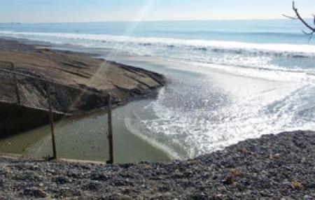
O&M has GIS maps that depict the County’s maintained roadways and flood control facilities. These maps are used to monitor and manage maintenance activities and projects. Inspection staff routinely inspect 380 miles of flood control channels and basins before and after storm season to identify maintenance issues and Maintenance Improvement Plan (MIP) projects, as well as 340 road miles. The channel and basin inspection status and channels with planned MIP projects through the fiscal year 2019-20 are available below.
| Routine Channel and Basin Inspections Ongoing inspections of County water channels and basins. |
Image

|
| Maintenance Improvement Program (MIP) Channel and basin MIP projects. |
Image
|
| Routine Road Inspections Ongoing inspections of unincorporated County roads. |
Image

|